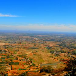
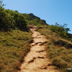
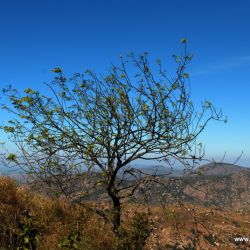
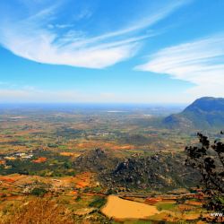
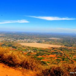
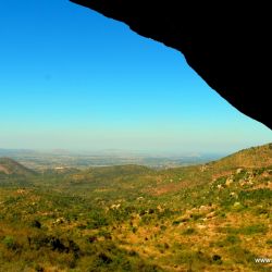
Skandagiri, also known as Kalavara Durga, is an ancient mountain fortress located approximately 50km from Bangalore city, and 3km from Chikballapur in the Indian state of Karnataka.
It is off Bellary Road (NH-7 Hyderabad-Bangalore Highway), and overlooks Nandi Hills, Muddenahalli, and Kanivenarayanapura .
The peak is at an altitude of about 1350 meters. It is known as the “adventurer’s paradise” and features a beautiful night trek, altitude camping, stunning sunrise, and serene and ocean like clouds. Skandagiri is near to Nandi Hills though it is not so famous as the later.
You can reach Chickballapur (55 km) in one hour by bus (from Majestic). From there, you have to go to what is known as Paapagni Math (5 kms) and that is the foot of the Skandagiri.
There are some old temples at the top and a small water spot. The village at the foothill of th mountain is called Kandavara Halli and the hill is called Kandavarahalli Betta (aka Skandagiri and Kalwarahalli Betta). It is in the Chikkaballapura district of Karnataka.
Skandagiri is one of the hill forts in the Nandi Hill ranges. The dilapidated walls of Tipu Sultan’s fort can be seen even today . This was built to be a sturdy, self sufficient fortress. It was built several centuries ago by Tippu Sultan.
Tippu used the fort as a military base in his fierce fight against the British. It surrendered to British troops on 19 October 1791 and was later dismantled. It remained in British hands until the peace treaty of 1792, which concluded the third Anglo-Mysore war.
There are 2 caves on the mountain. One starts from the base and as per locals, leads to the temple and fort at peak and another one is somewhere midway which is about 30 feet only. Both are yet unexplored, especially the first one.
Locals say that there are pythons in the caves and have swallowed their goats who wander in the caves. Supposedly, there are 6 Samadhis in that cave and thus the area is considered holy.
Altitude About 1350 meters above sea level Distance 70 km from Bangalore Nearest Town/Medical Help Chikballapur, 5 km Nearest Airport/ Railway station Devanahalli(Bangaluru International Airport) Co-ordinates 13°25′3″N 77°40′58″E Getting there There are two routes to Skandagiri: From NH 7, turn towards Nandi Hills.
At the base of Nandi Hills turn right and proceed to Kalawara village via Muddenahalli (birth place of Bharath Rathna Sir M Visvesvarayya).
From Chikballapur proceed directly to Kalawara village Directions: Follow the Bangalore International Airport, better known as Bellary Road (NH 7). After crossing BIA take the diversion to Chikballapur.
You can see the board for Chikballapur on NH 7 easily. Follow the same road for about 7-8 km until you find a Visvesvarayya statue to your Left. Note that this is a small bust and is easy to miss.
There is also a small Ganesha temple right next to that left turn. Take a left at this place and a right turn at the City Municipal Council a little further down. Later this shall directly lead to Papagni Mutt, which is the base of Skandagiri.
At Kalawara village ask for Omkara Jyoti Ashrama/Papagni Mutt (13°25′26.6″N 77°41′28″E). There is a Shiva temple near the base of the hill, where vehicles can be parked. Nandi to Kalawara to Papagni Mutt is 6 km Chikballapur to Papagni Mutt is 3 km
